
Guided project
Published:
Overview
This project served as my first exploration into the realm of deep learning, offering me a genuine introduction to the field after successfully creating a basic MNIST digit recognition program. Why satellites? I chose to work with satellite imagery due to my enduring fascination with all things related to space. Detecting active fires is an open problem and a scalable and reliable solution can save millions of dollars every year.
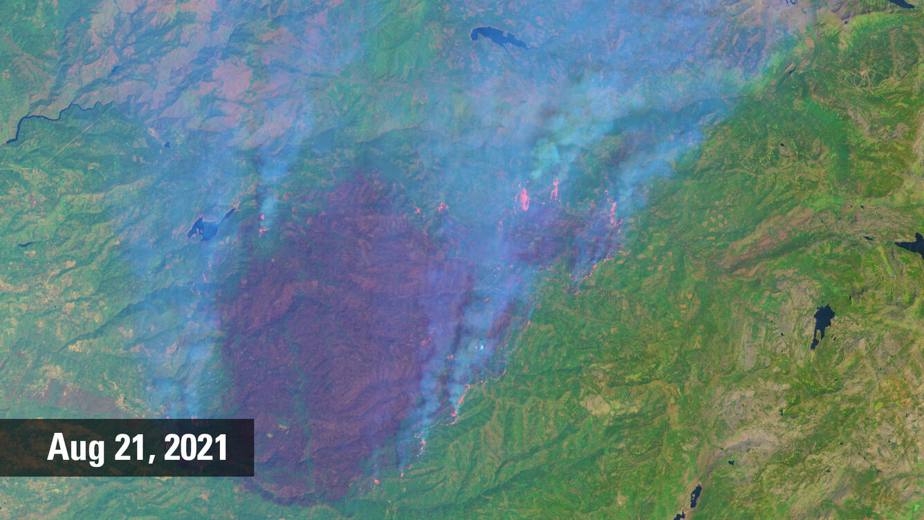
I chose Landsat-8 since it provides global coverage, has a short revisit frequency and most importantly a resolution of 30 metres in 7 bands. And it is entirely free !! I implemented a U-Net based encoder-decoder model for semantic segmentation of active fire pixels in an image.
Developing a pipeline of this scale meant I had to follow good coding practices, Git for version control and keep my code well documented (something I never learnt from Leetcode 😅).